Gone South — travel inspiration and itineraries for Australia, New Zealand & the Pacific

DESTINATION

New Zealand South Island

The perfect South Island road trip itinerary

Christchurch

Capital

English

Language

NZ$

Currency

The perfect New Zealand South Island Road trip

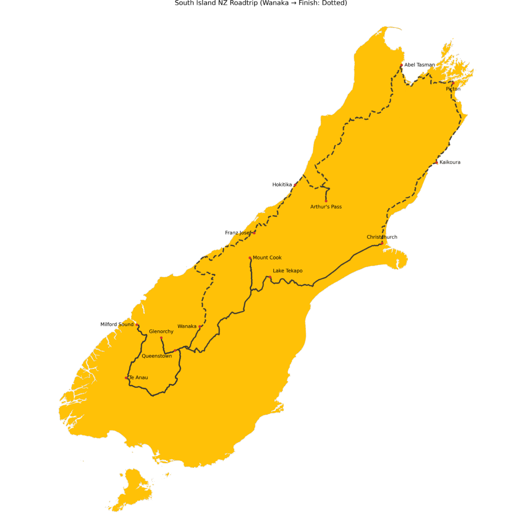
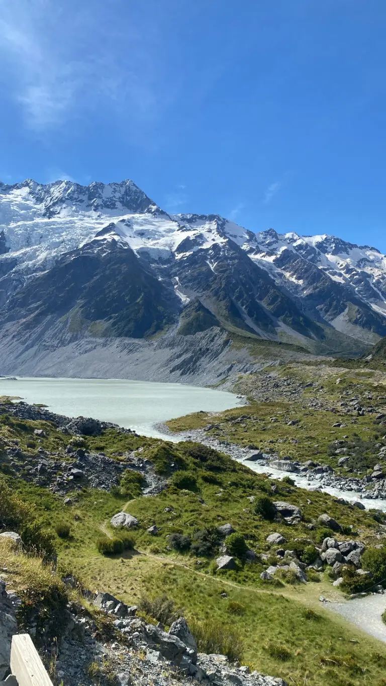
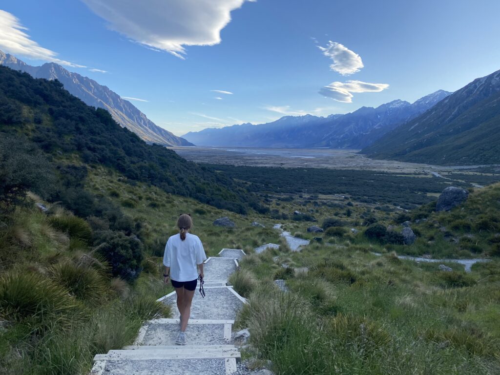
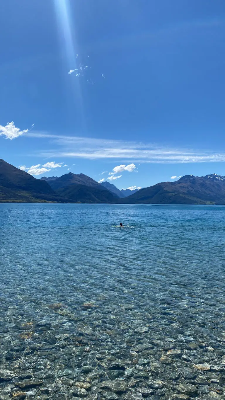
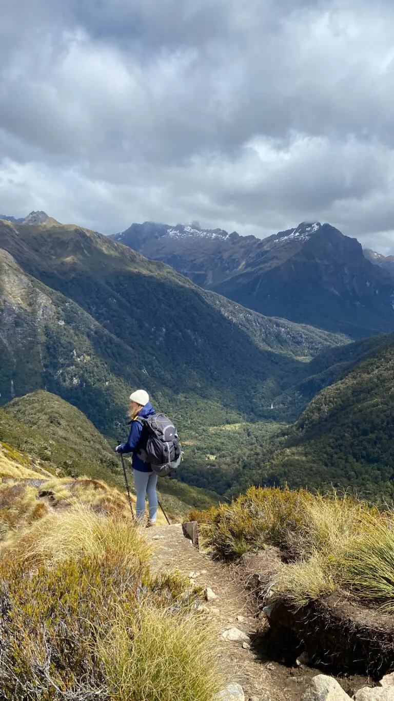
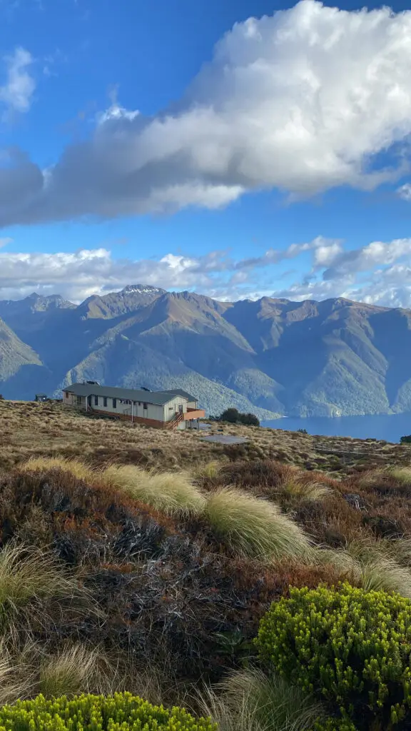
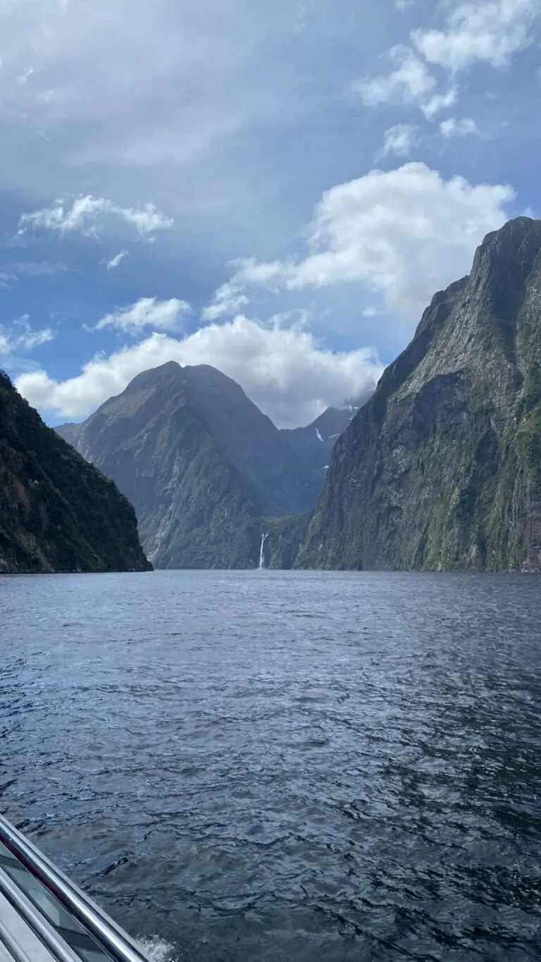
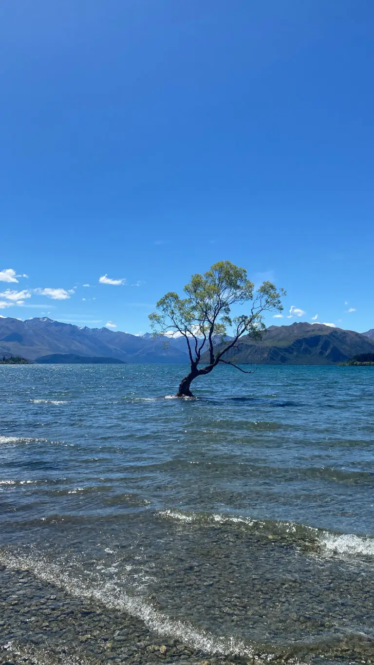
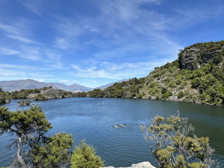
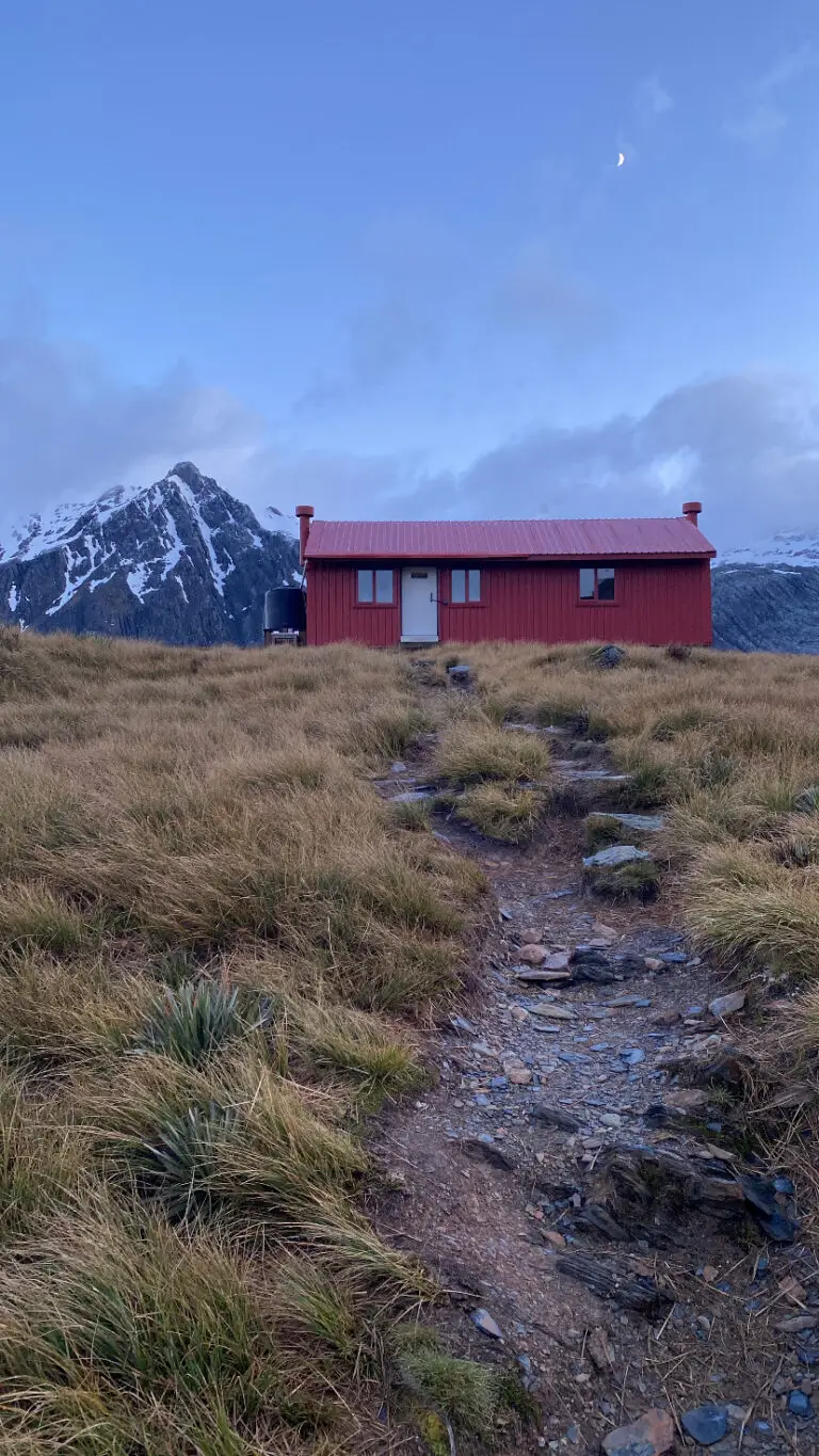
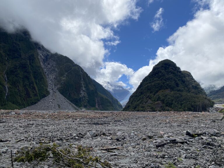
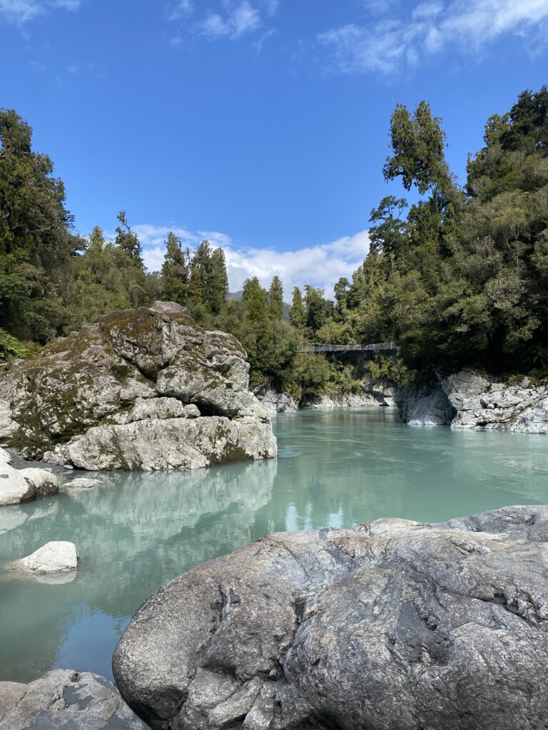
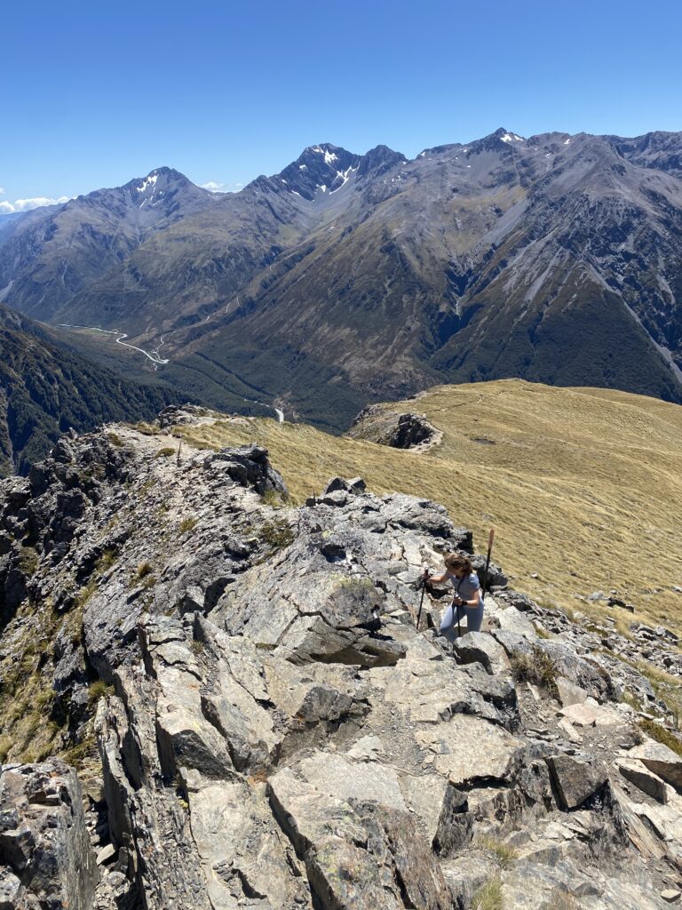
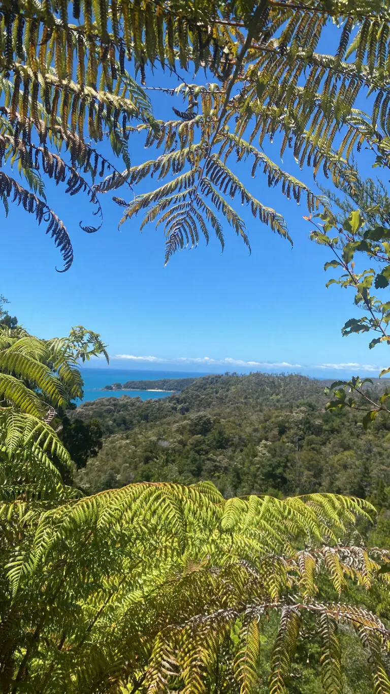
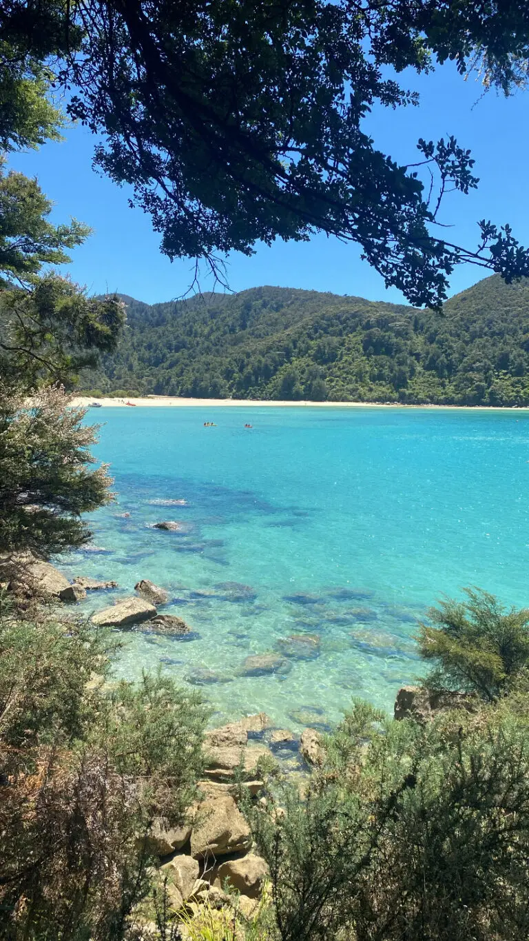
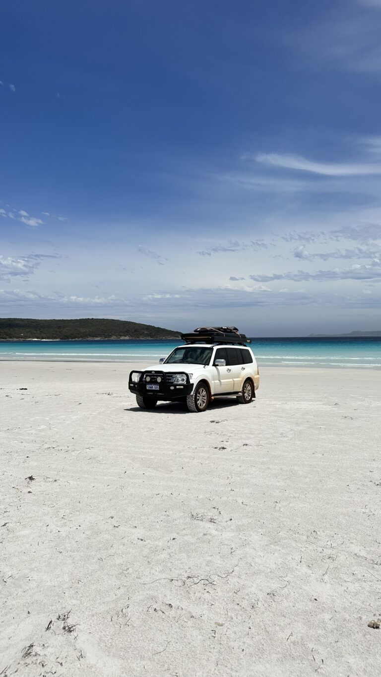
A New Zealand South Island Road trip takes you through one of the most breathtaking regions in the world, a place where snow-capped mountains meet stunning lakes, and wild coastlines give way to rolling vineyards and glacier valleys. This itinerary starts in Christchurch and goes all the way down to Fiordland and back up through the West Coast, following a route that captures the island’s incredible diversity. From the alpine peaks of Aoraki and the adventure hub of Queenstown, to the mirror lakes of Fiordland and the rugged beauty of the West Coast glaciers. With around 2–3 weeks, you’ll have enough time to travel at an easy pace, enjoy some of the best campsites and scenic drives in the country, and experience what makes the South Island so unforgettable. If you have more than 3 weeks consider adding the North Island to your itinerary. The best time to go is November–April, when the days are long and sunny. December–February is peak summer (and the busiest), March–April has fewer crowds and autumn colors.

The Route

NZ South Island Itinerary

Planning your route through the South Island can feel overwhelming, there’s so much to see, and the distances between highlights are long. On the map below, you’ll find our recommended route to help you plan your journey. If you have up to two weeks, focus on the grey route for a relaxed and scenic trip covering all the main highlights. With two to three weeks, extend your adventure along the dotted line to complete a full loop. And if you have more than three weeks, continue via Picton to the North Island (itinerary coming soon).


The best way to experience New Zealand’s stunning South Island is via campervan, as campsites are plentiful along the way (download WikiCamps for a helpful overview). Since finding the perfect spot to spend the night is half the adventure, check out
our guide to the best South Island campgrounds (coming soon).

Christchurch

Most international travelers begin their adventure in Christchurch, the island’s largest city and the main hub for campervan rentals. With plenty of rental depots and a well-connected international airport, it’s the easiest starting point. There isn’t a huge amount to do here, but it’s a great place to stock up on supplies. If you have a day to spare, take the short drive to Akaroa, a charming French-inspired harbor town surrounded by volcanic hills. Queenstown is another fly-in option, though rental choices there are more limited and typically more expensive.


Lake Tekapo

Lake Tekapo
Lake Tekapo
Motuāriki Viewpoint
Motuāriki Viewpoint

The 3.5-hour drive southwest of Christchurch takes you straight to the first highlight of the journey, Lake Tekapo. A perfect introduction to the South Island’s mountain scenery and  vivid blue glacial lakes. Once you arrive, grab a coffee or brunch in the small village and walk down to the Church of the Good Shepherd, a small stone chapel set against the backdrop of turquoise water and snow-capped peaks. From here, hop in your car and drive along the quiet unsealed road on the eastern side of the lake, where you’ll find plenty of peaceful spots to stop, go for a swim, or take in the view. Along this stretch, you’ll also reach the  Motuāriki Viewpoint, overlooking the lake and its tiny island with the Southern Alps rising in the distance. In late spring and early summer, the lakeshore bursts into color with lupins in vibrant shades of pink, purple and blue, making the scene even more spectacular. Lake Tekapo sits within the Aoraki Mackenzie  International Dark Sky Reserve, known for having some of the clearest night skies in the

world. If you’re staying overnight, head up to the Mount John Observatory for a guided stargazing tour, or go to the Tekapo Hot Springs, where you can float in warm outdoor pools under a sky full of stars.

Lake Pukaki and Aoraki Mount Cook

Mt Cook Alpine Salmon
NZ Alpine Lavender
NZ Alpine Lavender

From Tekapo, it’s just over an hour’s drive to Aoraki / Mount Cook National Park, one of the most spectacular areas on the South Island. The road follows the edge of Lake Pukaki, a lake so vividly blue it almost looks unreal. Stop at the Mt Cook Alpine Salmon on the shoreline for a sashimi platter with a view. Fresh salmon, crisp mountain air, and Aoraki rising in the distance. A little further along, the NZ Alpine Lavender Farm makes a lovely stop in summer (December to February), when the purple fields bloom against the snow-capped peaks. At the end of the road lies Aoraki / Mount Cook Village, the base for some of New Zealand’s most scenic hikes. The Hooker Valley Track is the must-do: a 10 km return walk across swing bridges and glacial streams, leading to a lake filled with floating icebergs and a perfect view of Mount Cook. Another stunning hike is the Tasman Glacier View Track, a quick climb to a lookout over the country’s largest glacier.

Hooker Valley Track
Hooker Valley Track
Hooker Valley Track
Tasman Glacier Track

The White Horse Hill Campground, set right beneath the mountains, is the ideal place to spend the night, peaceful and close to all the trails (book in advance, it’s popular). If you’re after more adventure, tackle the Mueller Hut Track. A steep, challenging climb that takes 4–6 hours one way, with views over the entire valley and Mount Cook glowing at sunset.

Queenstown

The three-hour drive from Mount Cook to Queenstown takes you through beautiful Lindis Pass. Take it slow and stop at a few of the lookouts dotted along the way, a good way to break up the journey. Once in Queenstown, treat yourself to coffee and lunch at Vudu Café, one of our favorite cafes right on the lakefront. From here, take a relaxed stroll along the water, you’ll find stands offering just about every adventure you can imagine, from mountain biking and jet boating to skydiving. One of the most unique is the Hydro Attack, a semi-submersible shark-shaped vessel that dives below and rockets across the lake at high speeds. For the best panoramic view of Queenstown and Lake Wakatipu, head up Bob’s Peak. You can hike up through the forest or take the gondola if you’d rather save your legs. At the top, grab a drink and take in the sweeping view of the town and surrounding peaks, and if you’re in the mood for a bit of fun, the luge carts offer a fun winding ride back down.

Glenorchy

Trading Post Cafe (Now Akin)
Trading Post Cafe
Lake Wakatipu
Lake Wakatipu

The 45-minute drive from Queenstown to Glenorchy is a scenic route along the edge of Lake Wakatipu, with plenty of spots to pull over and take in the views. Once you arrive, grab breakfast or a coffee at Trading Post Café (now Akin), it’s the perfect spot to start your morning. Glenorchy is the gateway to one of New Zealand’s most famous Great Walks, the Routeburn Track. Since most travelers don’t have time for the full multi-day hike, the day walks are a great way to experience its highlights. From the Routeburn Shelter side, the Routeburn Flats Hut track offers a gentle 2–3 hour return walk through beech forest to a grassy valley floor. For a longer and more panoramic route, continue to the Routeburn Falls Hut, a full-day hike (6–8 hours return) with stunning waterfalls and Alpine views. 

Te Anau

Kepler Track
Kepler Track
Kea
Iris Burn Hut
Iris Burn Hut

The drive from Glenorchy to Te Anau takes about three hours. The town sits on the edge of Fiordland National Park and makes an ideal base to explore this incredible region. When you arrive, stop at Sandfly Café, one of our favorites for coffee or lunch. Most travellers come to Te Anau for the Kepler Track, another one of New Zealand’s Great Walks. The 60 km loop was built to showcase the best of Fiordland: lush beech forest, limestone cliffs, open ridges, and wide valleys. The full track takes 3–4 days, and the highlight for many is the section between Luxmore Hut and Iris Burn, where you walk high above the valley on exposed ridgelines with views across the mountains and lakes below. If you don’t have the time for the full track, the day hike to Mount Luxmore summit (1,472 m) is a great alternative. Catch the Kepler Water Taxi (book upfront) from the Te Anau lakefront to Brod Bay, then follow the trail uphill through the forest. The hike takes around 6–8 hours return. The views stretch across Lake Te Anau and deep into Fiordland National Park, among the best panoramas you can reach in a single day. You’re also likely to see a few kea (Alpine parrots), around Luxmore hut.

Milford Sound

Milford Sound
Milford Sound
Milford Sound Cliffs
Kayak on Milford
Kayak on Milford

From Te Anau, it’s about a two-hour drive to Milford Sound. Once you reach the Homer Tunnel, you’ll drop down into the deep valley that leads to the fjord itself. On rainy days, the cliffs transform into hundreds of waterfalls, cascading in every direction. The best way to explore Milford Sound is out on the water with one of the cruise providers. We joined Mitre Peak Cruises, which sails out of the fjord all the way into the Tasman Sea. You’ll pass the iconic Mitre Peak, Lady Bowen Falls, and Stirling Falls, and might spot seals, dolphins, or even the rare Fiordland crested penguins. Kayaking here is also a great way to get a more intimate experience, paddling under steep rock walls and past waterfalls makes you feel Milford even more than a cruise can. The Sunriser Classic with Milford Kayaks is a fantastic option to have that early-morning magic before the cruises depart. If you’ve got some extra days in Milford, the Key Summit Track or Lake Marian are some great hiking options.

TIP: Accommodation in Milford is very limited, there’s just one small campground, and spots there are scarce and pricey. Alternatively, you can stay at Cascade Creek DOC Campground, about 40 minutes from Milford Sound.

Wānaka

That Wānaka Tree
That Wānaka Tree
Mou Waho Island
Mou Waho Island
Lake Hawea Free Camp

From Milford, it’s a long 4–5 hours drive back to Wānaka via Queenstown. Once you arrive, refuel with a healthy lunch and great coffee at Big Fig, then walk west along the lakefront towards the famous Wānaka Tree, the lone willow standing in the lake that’s probably already shown up on your Instagram feed. And if you’re craving something special after all those camp-cooked meals, Kika is an excellent (but pricey) spot for dinner.

Most travelers come to Wānaka for Roys Peak, one of New Zealand’s most famous viewpoints. The trail is 16 kilometers return with more than 1,300 meters of elevation gain, but the view makes every step worth it. From the top, you look out over Lake Wānaka and the surrounding mountains — a panorama you won’t forget anytime soon. Many people set off in the middle of the night to catch the sunrise (around 3 a.m.), but even during the day, it’s spectacular. If you’re in the mood for something other than hiking, take the water taxi to Mou Waho Island. This nature reserve sits in the middle of the lake and is known for its “lake within a lake”: you can swim in a small alpine lake that lies on an island, in a lake, on the South Island. 

TIP: The Wānaka Top 10 Holiday Park is great place to camp if you’re after a bit of comfort, with solid facilities and hot showers. If you’d rather wake up surrounded by nothing but water and mountains, the Lake Hāwea free camp is a stunning alternative, right on the shore of Lake Hawea and already in the direction of your next stop

Franz Josef & Glacier Country

Brewster Glacier on New Zealand South Island
Brewster Glacier
Ice Cave
Ice Cave
Brewster hut

From the Lake Hāwea free camp, it’s about a 3.5 hour drive to Franz Josef, crossing from the sheltered east into the wild West Coast. The road hugs Lakes Hāwea and Wānaka, passing The Neck lookout, then winds through the Haast Pass, where waterfalls pour straight out of the forested cliffs. About 50 minutes into the drive, make a stop at Fantail Falls — the starting point of the Brewster Track, a hidden gem that few travelers know about.

The trail climbs steeply through beech forest (about 1,000 meters of elevation gain) before breaking out onto open ridges. In around 1–2h, you’ll reach Brewster Hut, a beautifully located huts with panoramic views. From there, it’s another 2–3h return (and 500 meters elevation) to Brewster Glacier. It’s not an officially marked trail, but you can follow the stacked stone cairns that start up the hill behind the hut. You’ll end up among ice caves and ridges with barely another person in sight. It’s a demanding hike that’ll take up most of your day (4–6 hours total) but incredibly rewarding. If you’ve got the time, staying overnight at the hut is a great experience.

Thunder Creek Falls - Haast Pass
Fox Glacier Viewpoint

Continue west through the Haast Pass, stopping at some of the signed roadside waterfalls before reaching the tiny glacier towns of Franz Josef and Fox Glacier. There’s not much to do in these towns, which essentially exist for the glacier tourism. Unlike Brewster, you can’t hike up to the glacier; access requires a heli-hike (a scenic flight and guided glacier walk), which is spectacular but pricey and highly weather-dependent. If you prefer to stay on the ground, follow the Fox Glacier South Side Walk, an easy 2-hour return trail leading to viewpoints about 2.6 km from the glacier’s terminal face. It’s an easy walk through rainforest and along the riverbed, but sadly the ice has retreated dramatically in recent decades, and the viewpoints are now far from the glacier itself. This stretch of the West Coast is worth it if you’re making your way north toward Abel Tasman National Park, but if your time is limited and you can’t fit in the journey north, you won’t be missing too much by skipping it.


Hokitika Gorge & Arthur's Pass

Kea at Otira Viaduct Lookout
Hokitika Gorge
Avalanche Peak
Avalanche Peak

Heading north from Franz Josef, it’s worth breaking up the long 6 hours drive to Abel Tasman with a stop at Hokitika Gorge, about 1 hour 45 minutes away. The short loop track takes roughly 45 minutes by foot and goes through native forest and over two suspension bridges. From the first bridge, you’ll see the unreal blue waters colored by glacial silt, making their way through the granite gorge. 


If you have the time, consider adding Arthur’s Pass Village to your itinerary, only a 1.5 hours detour on your way from Hokitika to Abel Tasman. The road winds through the valley, crossing the stunning Otira Viaduct (don’t miss the lookout). In the village, you’ll probably spot kea parrots hanging around the café, a fun bonus if you missed them in Fiordland. Our favorite hike here is the Avalanche Peak Track: park near the Snow Safety Institute and follow the sign up to the highway. The loop track climbs 1,100 metres over 2.5 km, takes around 3–5 hours, and rewards you with sweeping views over the Southern Alps.


Abel Tasman National Park

Abel Tasman
Abel Tasman
Bark Bay
Bark Bay

After all the fjords, glaciers, and Alpine lakes, Abel Tasman National Park feels like a completely different world. Golden sand beaches, crystal-clear bays, and lush coastal forest replace mountains and glaciers. The park is home to another of New Zealand’s Great Walks, and the third Great Walk on this South Island itinerary: the Abel Tasman Coast Track, which stretches 60 km along the coast. Abel Tasman offers plenty of day-walk  options, as the coast is accessible by water taxis that bring you straight to the most scenic sections. The views as you cruise past golden beaches and turquoise bays, are already worth the trip. Our favorite section is from Anchorage to Bark Bay, about 11.5 km and 3–4 hours one way, winding through forest paths, swing bridges, and secluded bays with perfect swimming spots. Just don’t forget to book the water taxi to pick you up at Bark Bay at the end of the day!


TIP: The drive from Hokitika or Arthur’s Pass is long (4.5 hours), so consider arriving the evening before so you can make the early morning water taxi into the park. Ideally plan your walk around low tide at Anchorage so you can take the low-tide route, which lets you walk along the sand banks between the forest and the water, a shorter path with the best views of the coastline.

Back to Christchurch via Kaikōura (or Picton ferry to North Island)

From Abel Tasman it’s about 2.5 hours to Picton, where we caught the ferry to continue our North Island road trip (Itinerary coming soon). If you’re finishing your South Island journey instead, you can drive south via Blenheim to explore some of Marlborough’s renowned wineries, and then continue along the coast to Kaikōura, a great spot to see sperm whales and fur seals. From Kaikōura, it’s another 2.5 hours to Christchurch, closing the loop on your epic South Island road trip.